Skip to content

montevideo

montevideo: el prado
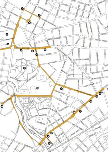
Uruguay, Montevideo, El Prado, map

Located north & further inland from the Ciudad Vieja, the area that comprises El Prado began as an agricultural zone with large farms & only a few roads. But Montevideo under siege in the 19th century drove upper class families away from the city center. Villas with large gardens popped up everywhere in El Prado, attempting to maintain the area’s rural character. Although many mansions disappeared by the beginning of the 20th century, several survived & have been repurposed. For example…

Read More »montevideo: el prado
montevideo: palacio legislativo

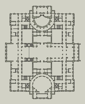
Montevideo, Palacio Legislativo

Visiting the national congress was a challenge: internet said one thing, the TI said another & everyone in between had an opinion as to official visiting hours. After dragging Darío to the Cementerio Central, we took a bus there. I walked in to confirm the time & was comforted by the lack of security. Sure, I passed through a scanner but everyone was laid back & it seemed like we were all hanging out instead of entering one of the most important buildings in the nation.

Read More »montevideo: palacio legislativo

montevideo: pocitos

Montevideo, Pocitos, Boulevard España

Women used to wash laundry in the now-absent Arroyo de los Pocitos, but the upper class realized the potential of its pristine beach. Pocitos became part of the city in 1886, & soon after trolleys bought hundreds of visitors to the first beach restaurant & hotel. Elite summer vacation homes characterized the area during early stages of development, becoming a mini-Mar del Plata.

Read More »montevideo: pocitos