A long hike that we only did halfway then returned… but this trail has plenty of flowing water, a few flowers (even in January) & lots & lots of sheep. We’ll likely do the entire walk one day, but for now enjoy this partial description of a beautiful river trail.
Route basics
- Type of trail: Linear. We did less then half, then returned to El Pedroso.
- Total length: 19 km, or 11.8 mi.
- Max altitude difference: 148 m, or 486 ft.
- Lowest to highest altitude: 208-356 m, or 682-1168 ft.
- Our walk time: 6 hrs, including a lunch break plus another rest of about 1 hr total.
If we’d left earlier, the ideal would be to start this trail in Cazalla, taking advantage of the gradual decline to the river & finish in El Pedroso. Plenty of food & drink options exist in town, & you can catch the train to Sevilla from there as well. Let’s get walking!
Stage 1
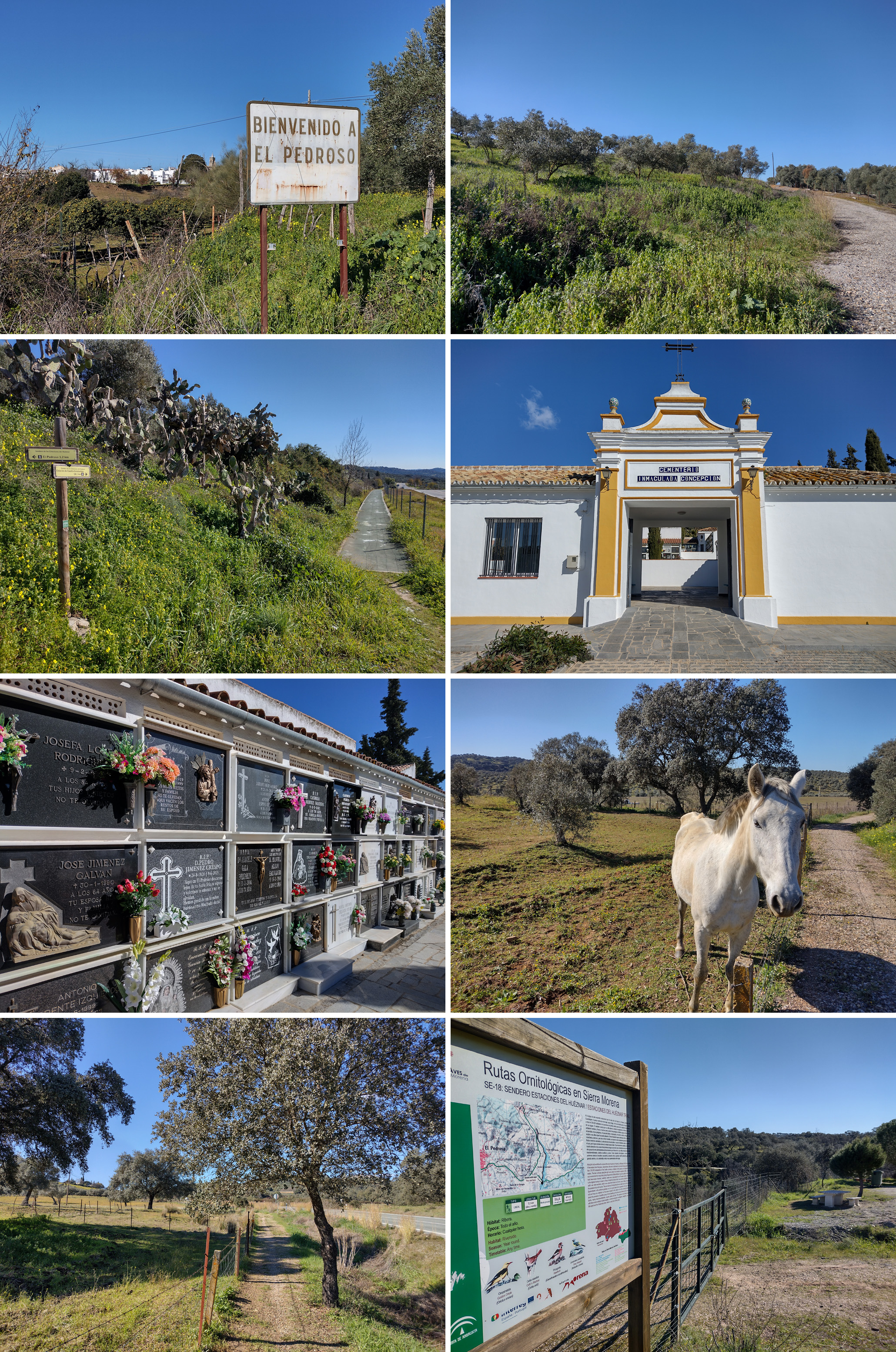
This first stage is just getting to the river basin to begin the actual trail, & a vintage sign told us we’d left town. After crossing a bridge over the train tracks, I wondered why we had to zigzag so much across the road before arriving at the pedestrian path to the cemetery. Seemed a little counter intuitive, but honestly there isn’t much room on the curvy road to walk safely alongside the small amount of traffic we encountered. An inquisitive horse kept us company for a bit, then we descended down down down into the valley of the Huesna/Huéznar River.
Stage 2
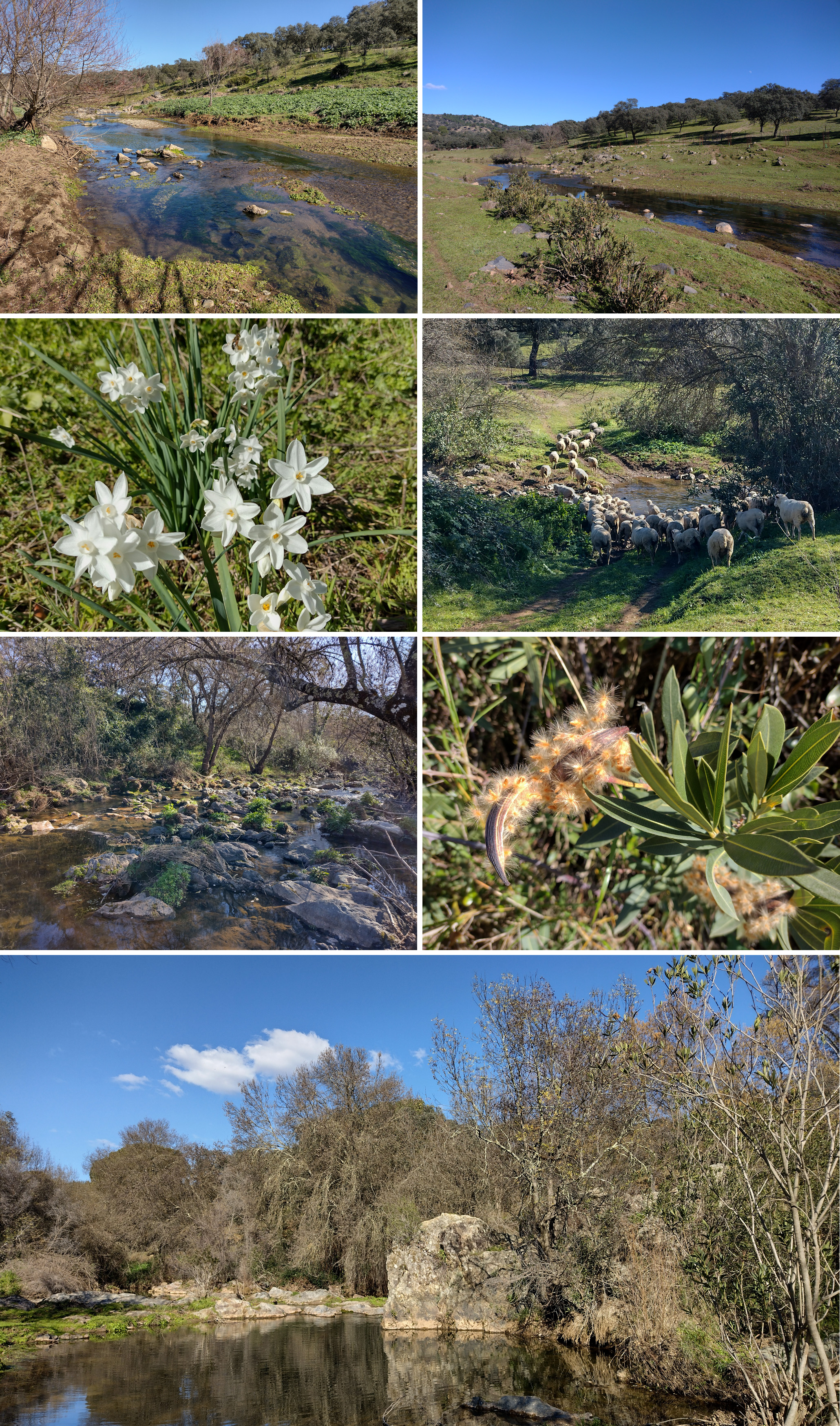
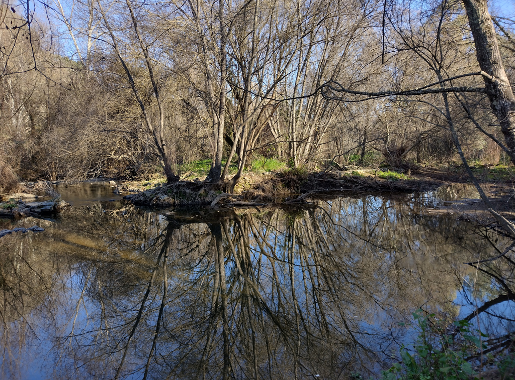
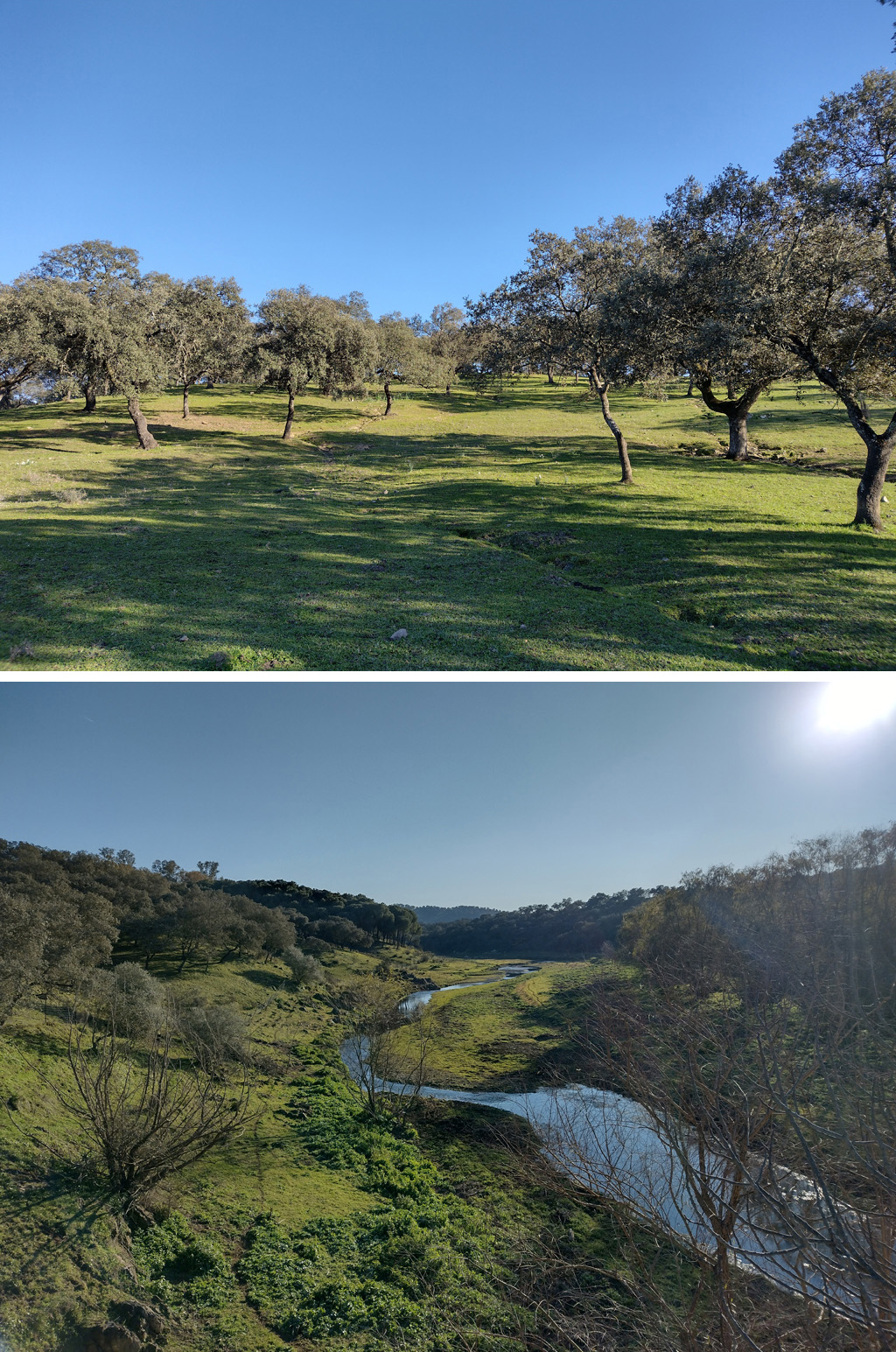
We didn’t cross the bridge to the eastern side of the river, instead we descended rapidly on the western side. I loved the chance to see where our drinking water comes from! In spite of the low rainfall this winter, water flowed quickly downstream.
Rafa & I encountered a herd of sheep who were too jittery to stay put, running away almost at first sight of us. Warm weather brought springlike temps & early blossoms… we stopped for awhile at a beautiful pond with rock formations & saw several other hikers on the opposite side of the river. Our choice of trail was definitely the least-traveled & the one with the most sheep poop. Quite the obstacle course.
Stage 3
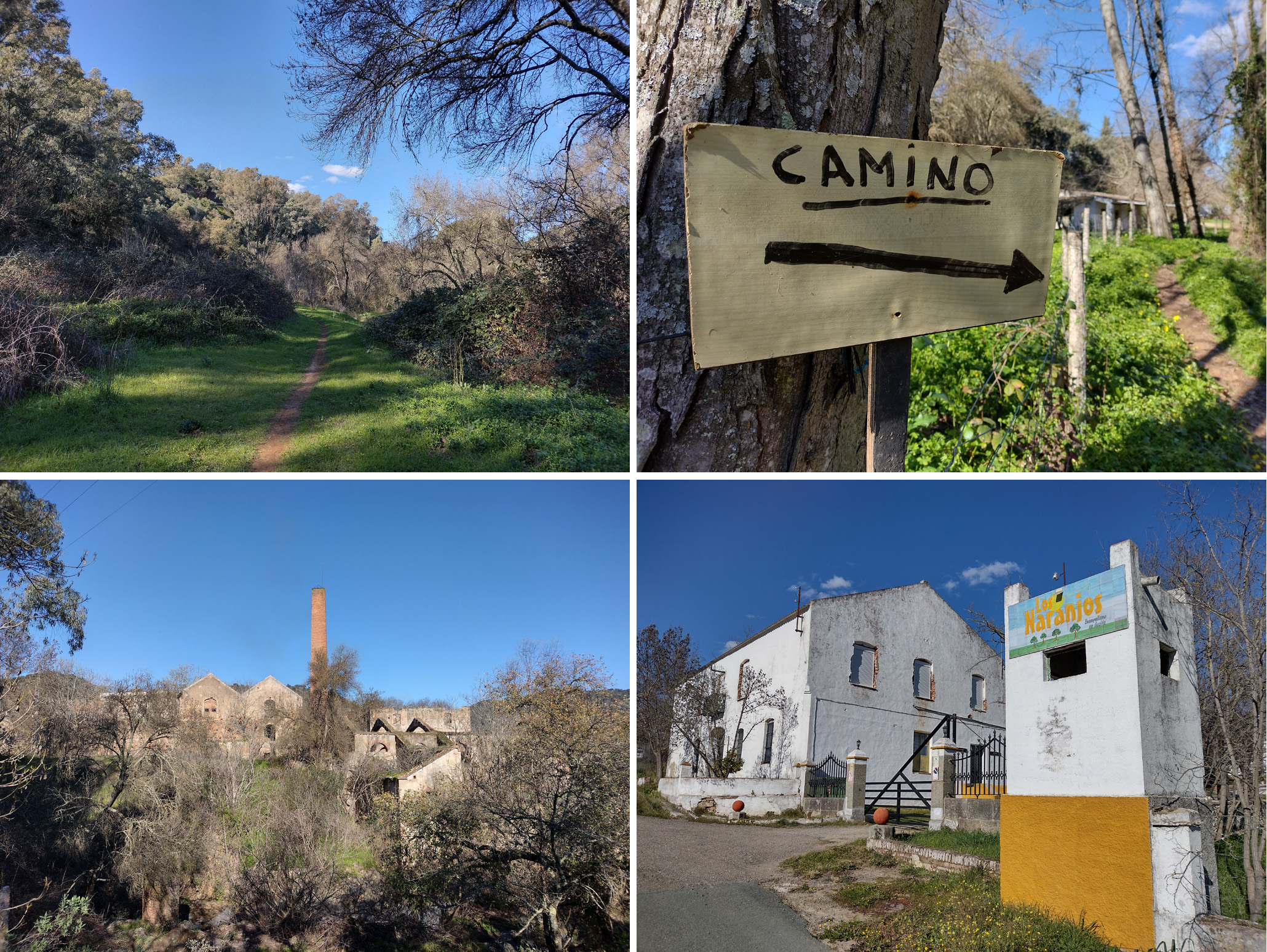
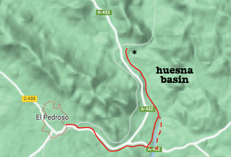
We continued walking along the west bank of the river, under trees & by a few interesting buildings & flood control features. A smokestack soon popped into view with remnants of what was the first steel mill in Spain —yes, in Andalucía not in the Basque Country (marked with an * on the above map). Closed to the public, guided visits are sometimes available & the Christian daycamp Los Naranjos occupies part of the previous workers’ residence section. Closed in the late 1950s, the steel factory made part of the Puente de Triana for Sevilla completed in 1852.
Continuing on, we would have eventually seen part of the trail as seen in this photo essay. But we hadn’t gone quite halfway to Cazalla, & we’d already missed the last train back to El Pedroso… no choice but to go back the way we came.
Return to El Pedroso
We managed to cross the river at a low point & go along the eastern bank (dotted line on the above map) for more interesting views. The best part was another herd of sheep that didn’t have anywhere else to go… so we got some good video:
Thanks for walking along with us! I’ll update when we do the entire trail, & probably combine it with the photo essay for the sake of clarity. But hopefully someone will find this information useful in the meantime.