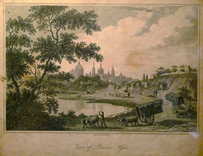
The above engraving of Buenos Aires by John Byrns can be found in the Museo de la Patagonia in Bariloche. Problem is, I can’t identify where this view would be today. My guess is somewhere downtown due to the number of churches visible. Would that be the arroyo where Calle Chile is today? Or is the bluff Parque Lezama?
Suggestions anyone?
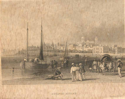
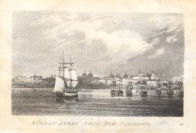
Update (25 Feb 2011): Working on another project, I stumbled across a few more lithographs online. Looks like they could be from more or less the same angle. Identifying the churches would be the easiest way to determine exactly where these were etched:


It looks like it’s viewing the city from the left, having the rio de la plata in from, the city would be on the right side of the observer, so, this could be more like Retiro or Recoleta, not sure where the water line was at that point in time, maybe at the level of Av libertador…
Great blog, Casas Para Las Masas, posted about it on my own blog
http://blogs.lanacion.com.ar/ciencia-maldita/estado-del-bienestar/casas-para-las-masas/
Thanks for your work, it’s great to have you here in Buenos Aires.
Best, lucas.
Thanks very much, Lucas! Hopefully I can make it to the rest of the housing projects this year. It’s a fascinating part of Buenos Aires that many people ignore. Un abrazo!
Alejandro – Sorry for taking so long to answer. I think you’re right… the view must be from Retiro or Recoleta. The water line came up to the Iglesia del Pilar, so about Avda Libertador:
Could the wall on the barranca in the etching be the same as the wall of the Convento de los Recoletos? Maybe…