Our longest trail to date! If we’d kept going north, we could have made it to the next town in the same amount of time. I’ll have to confess though… this wasn’t my favorite trail in the area. Most of the hike is open, with little shade & little opportunity to see animals. But the stretch from the viewpoint to the main road is fantastic. Now you know before you go 😉
Route basics
- Type of trail: Circular.
- Total length: 12.8 km, or 7.9 mi.
- Max altitude difference: 165 m, or 541 ft.
- Lowest to highest altitude: 379-544 m, or 1243-1785 ft.
- Our walk time: 4.5 hrs, including a lunch break of about 20 min.
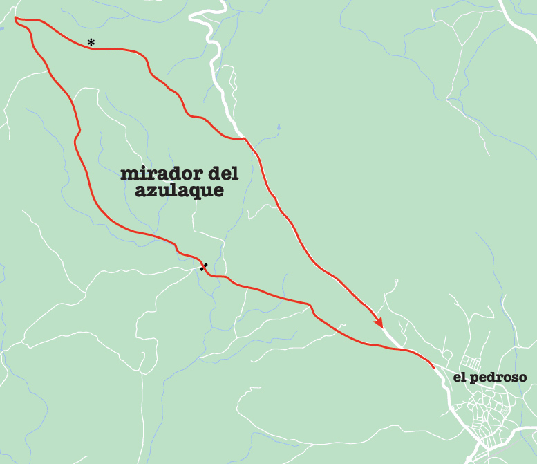
Some official sources list this walk as lineal, but returning along the same route would cut out the most beautiful & interesting section. Circular is better in my opinion. Let’s get walking!
Stage 1
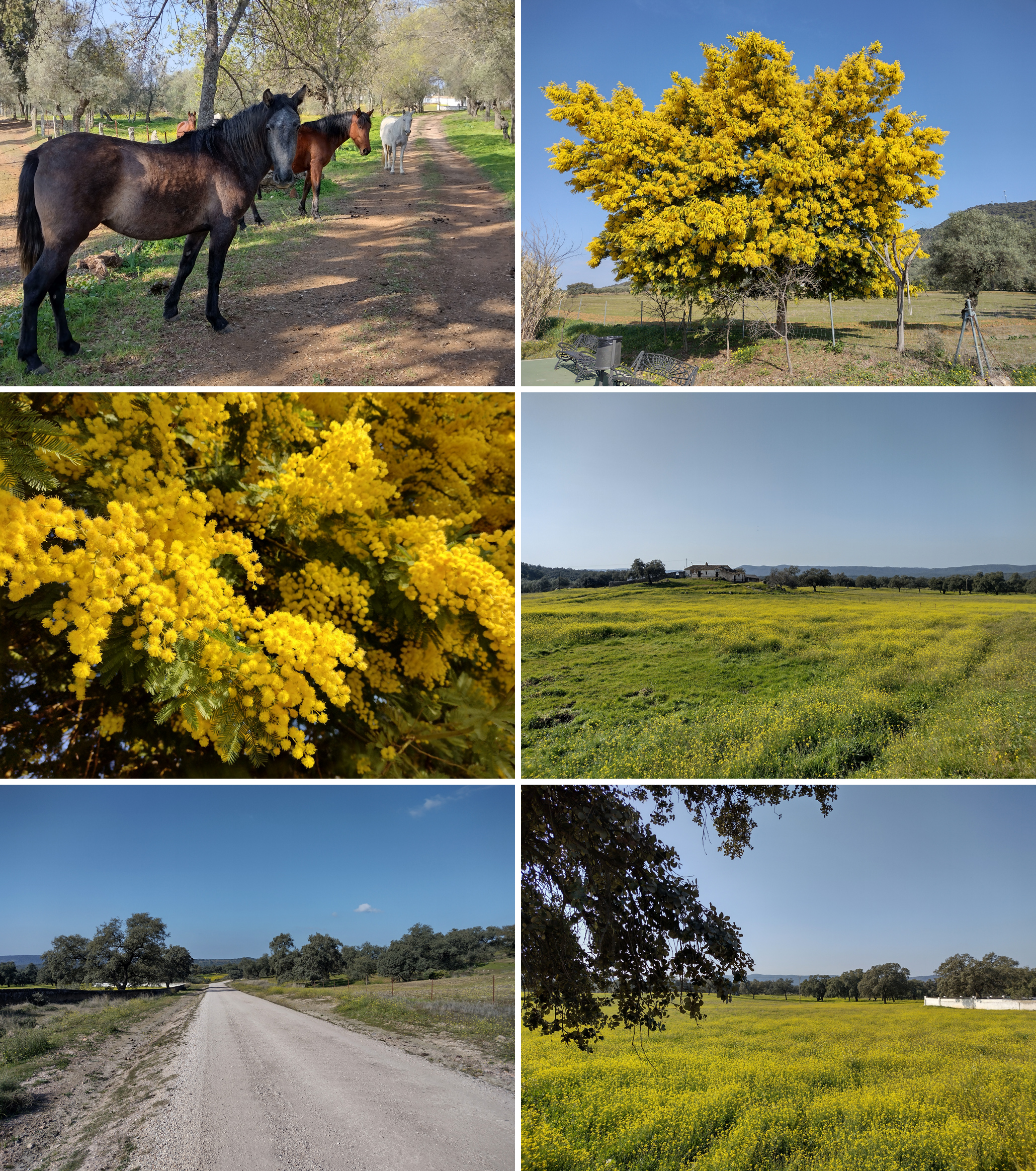
From the town of El Pedroso to the black bar marked on the map above is exactly the same route as the final stage of the Arroyo de las Cañas trail. But since we walked in the opposite direction this time, the paved road had a slow & steady decline. Quite easy but not too much of interest… the saving grace was the time of year: February. Winter rains made the fields burst into life. One of the defining characteristics of the Sierra Morena —no matter how dry & desolate the summer— is only a few days of rain are needed to make plants happy again.
Stage 2
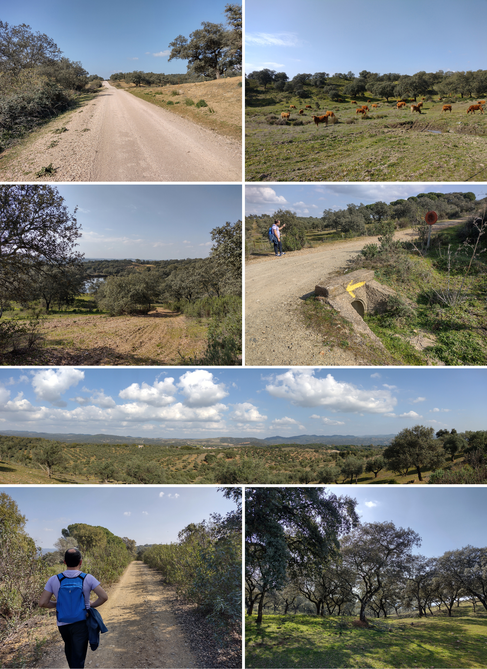
From the black bar to the corner tip on the map is nothing but gradual, constant uphill for about 4 km. A few cattle & a couple of small watering holes broke the monotony, but I couldn’t help thinking: Are we there yet? Much of this section consists of old routes to move animals from pasture to pasture, but today there’s only light car traffic. Not much else to ponder.
We stopped for an enjoyable break on a group of rocks by the roadside, but this was my least favorite part of the walk. As we turned & followed confusing signage to the viewpoint, the uphill climb got a bit steeper… but at least we weren’t on a paved road, had some occasional shade & were now surrounded by gorgeous oak trees. Glimpses of the panoramic view began to appear.
Stage 3
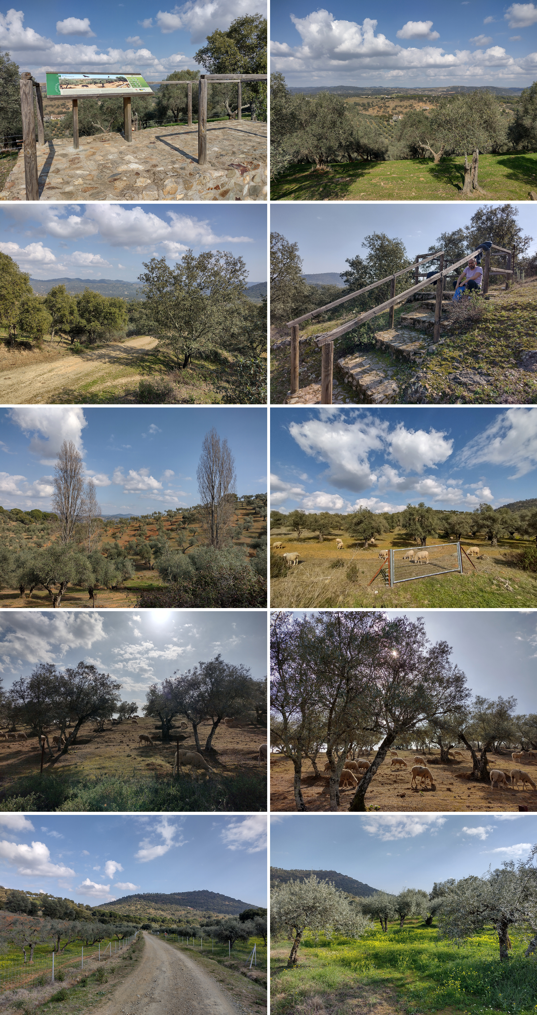
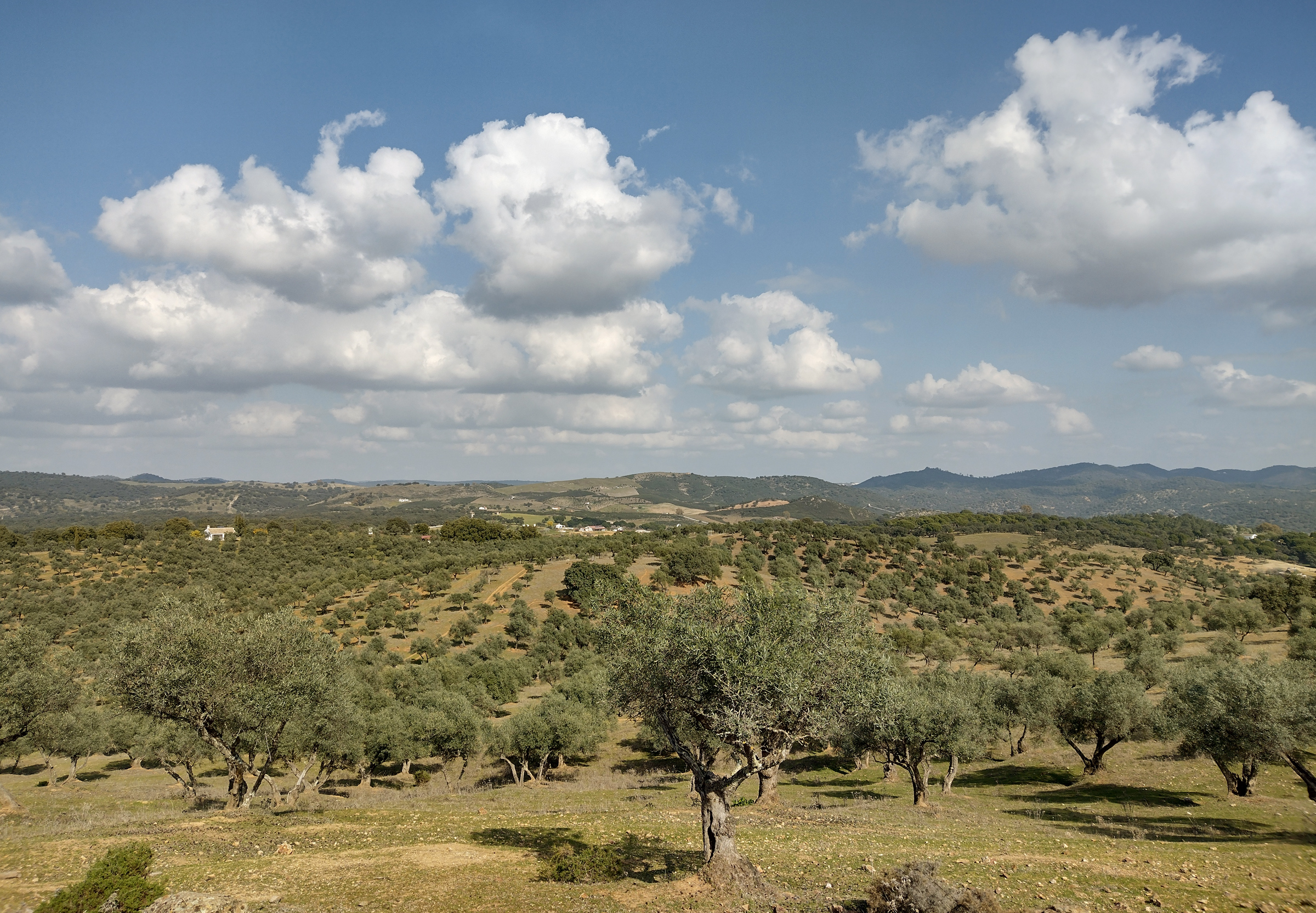
Oh, is this it? A small, raised platform with one infopanel gave us a great overview of the surrounding area. But that was all… no space to have a picnic, no spot to rest & enjoy the view & again, not a lot of shade. We found some steps to another platform nearby & ate our lunch (see asterisk on the map above). The look on Rafa’s face says it all, but at least the best was to come. After a little more uphill, fields of olive trees came into view. Then at last a descent, and lots & lots of sheep! The low, winter sun made this part of the walk magical, full of dramatic shadows from the olive trees.
Stage 4
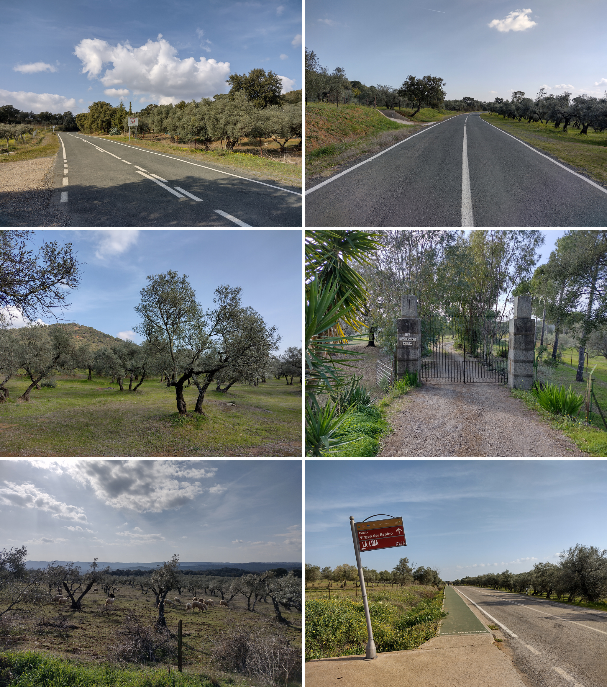
Soon we were off the dirt path, out of farmland & back on a two-lane road with very little shoulder to walk. At least there was no traffic to be concerned about. Once again, not much shade & not much of interest except for the occasional farm. We were thrilled when the beginning of the pedestrian lane came into sight because that meant we were only about 500 m from home.
Sometimes I wonder who selects these official trail routes that are promoted throughout the province of Sevilla. Of the four we’ve done so far, the Azulaque trail ranks at the very bottom. Sure, the exercise is great, but there’s so little contact with nature that this long route doesn’t seem worth the effort. And it would be brutal in summer! Fortunately we still have many more to explore… stay tuned!